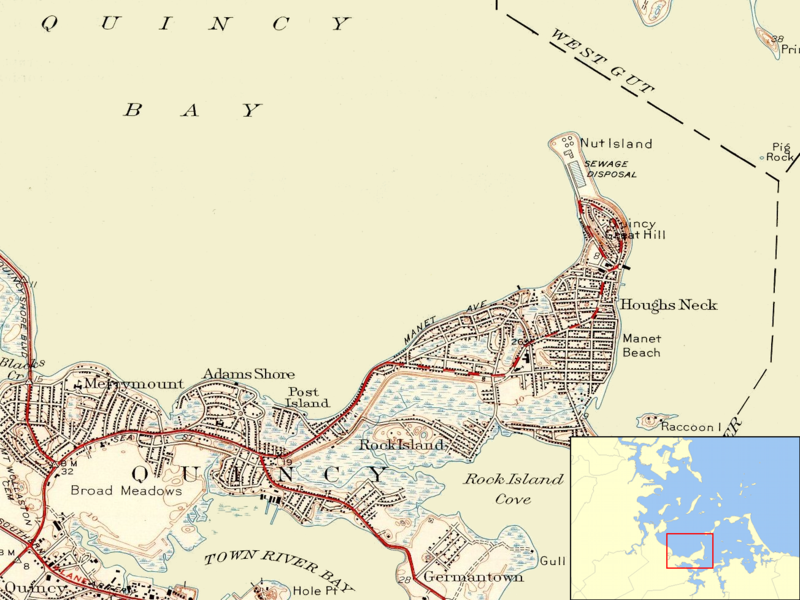
File:Nut Island MA 1946.png
Appearance

Size of this preview: 800 × 600 pixels. Other resolutions: 320 × 240 pixels | 640 × 480 pixels | 1,024 × 768 pixels | 1,304 × 978 pixels.
Original file (1,304 × 978 pixels, file size: 1.16 MB, MIME type: image/png)
File history
Click on a date/time to view the file as it appeared at that time.
| Date/Time | Thumbnail | Dimensions | User | Comment | |
|---|---|---|---|---|---|
| current | 06:53, 11 June 2009 |  | 1,304 × 978 (1.16 MB) | Sswonk | {{Information |Description={{en|1=Map showing the position of Nut Island on the eastern shore of Quincy Bay with inset showing the location of the mapped area in Boston Harbor.}} |Source=U.S. Geological Survey, obtained from University of New Hampshire co |
File usage
The following 2 pages use this file:
Global file usage
The following other wikis use this file:
- Usage on de.wikipedia.org
- Usage on www.wikidata.org

